FAQ
ANSWERS TO ALL OF YOUR QUESTIONS
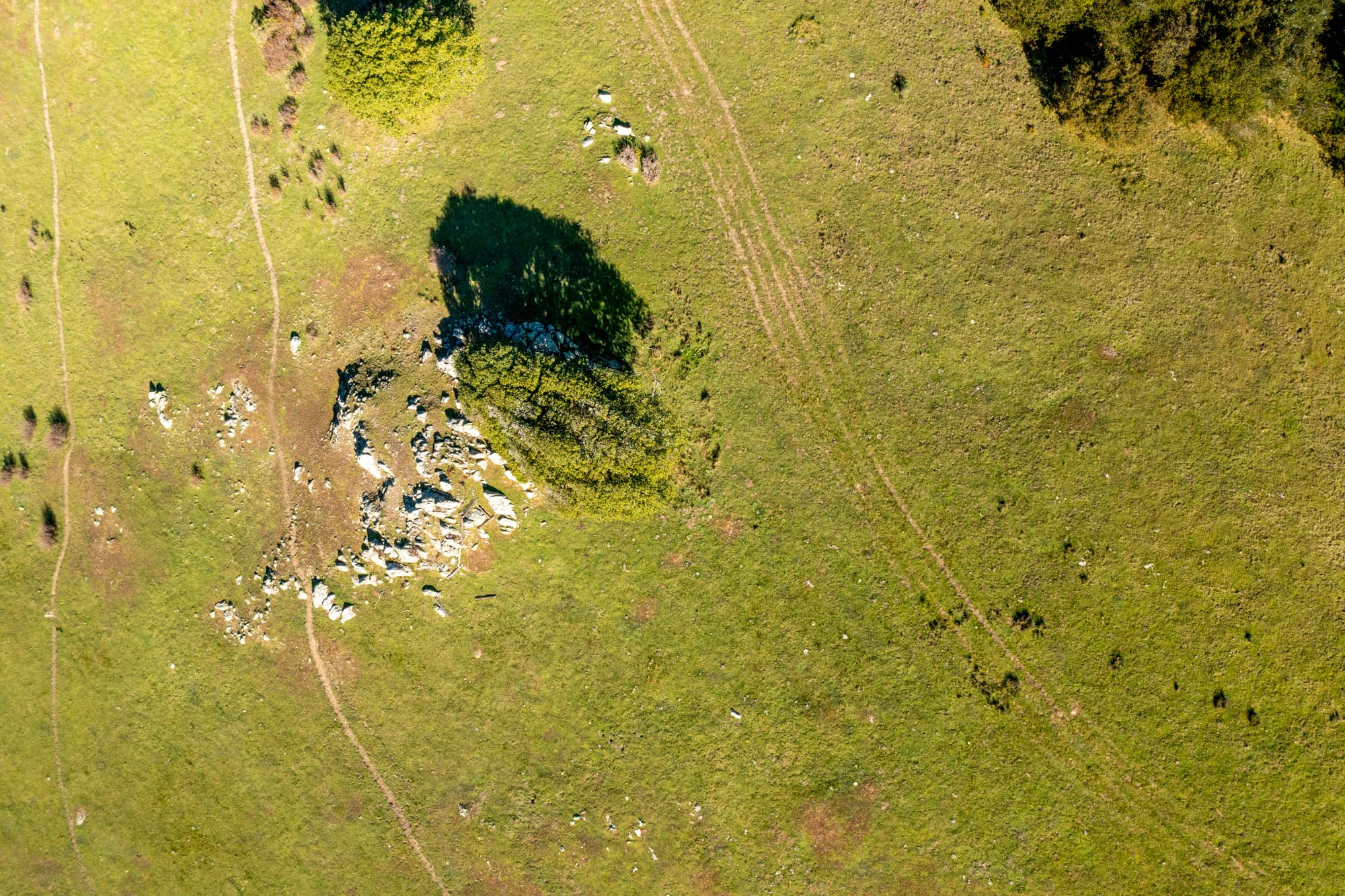
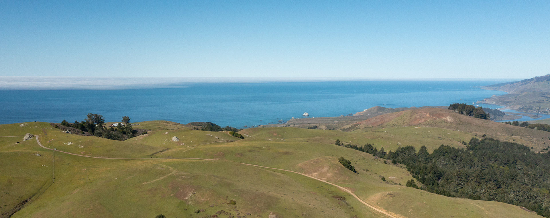
The park is located on the Sonoma Coast, near Wright’s Beach, about 1 mile east of the coastline and 2 miles south of the Russian River. There is currently no public vehicular access, but there is a driveway off of Highway 1 for staff and emergency vehicles. You can find a printable map of the site here.
Wright Hill Park and Preserve is 1,236 acres. You can find a printable map of the site here.
Regional Parks and Ag + Open Space frequently work together to establish new parks and preserves in Sonoma County. Ag + Open Space works to acquire important open spaces in Sonoma County, and then often transfers those properties to Regional Parks to manage and provide public access.
In August 2021, the Ag + Open Space transferred title of the property to Regional Parks and conveyed with that transfer a Conservation Easement and Recreation Covenant on the property. Read more about that transfer in this press release.
The Conservation Easement and Recreation Covenant guide the use of the property to balance resource protection and management with passive public recreation. To preserve the natural resources and open space qualities of the property, the Conservation Easement designates specific use areas for development in support of public recreation and education activities.
Over the next several years, Regional Parks will prepare a master plan that will address public access to the preserve and provide more detail about implementing resource management goals outlined in the Resource Management Plan (RMP) prepared by Ag + Open Space in 2017.
The master planning process includes a number of public outreach opportunities to provide input and comment on proposals as they are developed.
The Wright Hill Park and Open Space Preserve (Preserve) will eventually contain a variety of trails that provide a diverse variety of trail experiences.
The trail system will include hiking trails, connecting to other nearby parks and trails. Additional trail uses (e.g. biking, equestrian, and dog access) will be discussed and determined through the master planning process.
At this time, all points of access restrict equestrians, dogs, mountain bikes, and e-bikes. Hiking is currently the only viable way to access the property, due to restrictions from neighboring properties.
Additionally, due to the challenging terrain not all trails will be open to all user groups. It is possible that some trails at the Preserve will be open to all users, but many will have restrictions for safety reasons and natural resource preservation and protection.
Ag + Open Space retains a recreation covenant that assures the property will be used, maintained and operated as a public park and open space preserve in perpetuity.
Low-intensity recreation includes ways of interacting with and moving across the landscape that result in negligible impact to sensitive environmental resources like creeks and wetlands. These include hiking, biking, horseback riding, picnicking, camping, nature study, bird watching, and public education.
The Park and Preserve was conveyed to Regional Parks ownership with a legally binding Conservation Easement requiring that the Master Plan prioritize the following outcomes in the following order: 1) natural resource preservation and protection; 2) scenic and open space protection; and 3) recreational and educational uses.
The Master Plan will include a Resource Management Plan that will serve as a manual for restoring, maintaining, improving, and sustaining ecosystem diversity for future generations to enjoy. The Resource Management Plan will contain special provisions for protecting sensitive habitat and species such as seasonal closures of muddy trails, invasive plant removal, sustainable forestry management, consideration of controlled burns, and repair of eroding trails.
Pending environmental review, leashed dogs may be welcome at the Preserve as at most other Sonoma County regional parks. Unleashed dogs are only allowed at off-leash dog facilities, such as Ragle Ranch Regional Park. The Master Plan will consider if and where leashed dogs will be allowed within the Preserve, or if an off-leash dog area is appropriate at the Preserve.
Regional Parks recognizes that the Park and Preserve is on or near the ancestral lands of the Southwestern (Kashaya) Pomo, and Coast Miwok who are the original caretakers of this area. We respectfully acknowledge the Indigenous peoples who have been stewarding and maintaining relationships on this land as knowledge keepers for millennia. Regional Parks is engaging with local Native American Tribes to gather Tribal feedback. Actions taken to honor and acknowledge this place as Indigenous land will come out of this consultation process.
Regional Parks will carefully evaluate any proposed design elements for impacts to sensitive Tribal resources. In addition, Regional Parks anticipates that the Park and Preserve’s interpretive programming will speak to Indigenous land management practices such as controlled burns. Additional ideas for honoring and acknowledging this place as Indigenous land are welcome! Please share your ideas via upcoming surveys (linked on this website).
Vegetation and fire management is crucial to maintaining the health and safety of the Preserve, nearby properties, and Sonoma County. The region is increasingly vulnerable to impacts from catastrophic wildfires, amplified by complex factors including hotter temperatures, drought, stronger winds, and a buildup of dense fuels (vegetation) from decades of fire suppression.
Many plant communities in the property are adapted to fire, and thrive on (or even depend on) small, frequent burns that characterized the centuries of Indigenous land management in the region. While the particular measures for the Resource Management Plan are not yet selected, efforts may focus on managing fuel loads, reducing unintentional ignitions, supporting fire-adapted habitats, promoting education, designing/incorporating infrastructure to support firefighting efforts, and creating climate durable infrastructure in keeping with Regional Parks’ strategic plan.
Regional Parks and its partners will develop fire-adaptive management strategies in the project’s Resource Management Plan and forestry management plan later in the Master Planning process.
We anticipate several facilities will be proposed during the master planning process based on the allowable uses included in the Conservation Easement.
We anticipate picnic sites, educational programs, guided walks, and self-guided interpretive trails will also be considered during the planning process. Other amenities will depend on your feedback and could include nature-based facilities like overlooks and a developed campground.
All proposed facilities will need approval as consistent with the Conservation Easement for the property by Ag + Open Space.
Camping and campfires will be evaluated in the community engagement, master planning, and environmental process. Given the physical terrain and current legal public available, RV camping is not expected to be feasible.
Public parking is a significant challenge for this Preserve. There is one driveway to the core of the property, but there are legal restrictions on the use of the driveway. Those restrictions are such that public access is not currently available, and is unlikely in the near future. As a result, there is unlikely to be any significant public parking facilities available on the site.
Parking will likely need to be off-site, connected to the preserve via a trail system.
This area is on or near the ancestral lands of the Southwestern (Kashaya) Pomo, and Coast Miwok who are the original caretakers of this area. We respectfully acknowledge the Indigenous peoples who have been stewarding and maintaining relationships on this land as knowledge keepers for millennia.
In more recent years, the site was used for ranching and agricultural purposes, as early as 1857. Since the mid 1800s, the site has passed through a variety of owners and families, ultimately being purchased by Sonoma County Ag + Open Space.
The Park and Preserve is expected to be open from 7am to sunset for day-use activities like other Sonoma County Regional Parks. There is one “building envelope” allowed under the Conservation Easement, and this is expected to be used to provide housing and/or an office for rangers or park staff. This will provide additional site safety and security. The property will be patrolled and managed by rangers, resource management, and maintenance staff. The Master Plan will include a plan for emergency evacuation to account for fires, flooding, and other potential safety events or issues.